The Canadian Hydrographic Service Launches S-100 Sea Trials on the St. Lawrence River
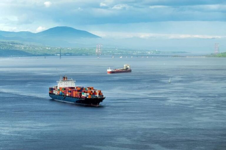
The Canadian Hydrographic Service (CHS), a division of Fisheries and Oceans Canada, is at the forefront of validating new digital hydrographic standards. Minister of Fisheries, Joanne Thompson, recently announced the start of S-100 sea trials on the St. Lawrence River, marking a significant step towards modernizing navigational charting methods.
The S-100 data model, developed by the International Hydrographic Organization (IHO), introduces a groundbreaking approach to visualizing the marine environment. This new standard incorporates layered, interactive digital data that can be seamlessly integrated into navigational charts. By incorporating real-time information such as depths, landmarks, tides, and currents into a single dynamic format, S-100 revolutionizes the way mariners navigate the seas.
From now until November 2025, Canada is offering free access to S-100 digital navigation products and services for mariners, stakeholders, developers, and other interested parties to test in real-world scenarios. The challenging conditions of the St. Lawrence River, with its variable water depths, shifting currents, and complex navigational aids, make it an ideal testing ground for evaluating the performance and usability of S-100. Insights gained from these trials will inform the future adoption of S-100 standards on a global scale.
The IHO has outlined a phased rollout plan for S-100 navigational information, set to commence in January 2026. This gradual implementation will ensure a smooth transition to the new standard across international waters.
Collaborating with the Canadian Hydrographic Service on the S-100 Sea Trials are key partners such as the Canadian Coast Guard (CCG), Teledyne Geospatial, Electronic Chart Centre (ECC), and PRIMAR. Together, these organizations are working towards advancing digital hydrographic standards and improving navigational safety for mariners worldwide.

