Fugro Donates EdgeTech Deep Tow Survey Systems to CSIRO for Ocean Research
Fugro, a leading provider of geotechnical, survey, subsea, and geoscience services, has recently made a generous donation to the Commonwealth Scientific and Industrial Research Organisation (CSIRO) by gifting two EdgeTech Deep Tow survey systems. These advanced systems will further enhance CSIRO’s capabilities for ocean research and exploration.
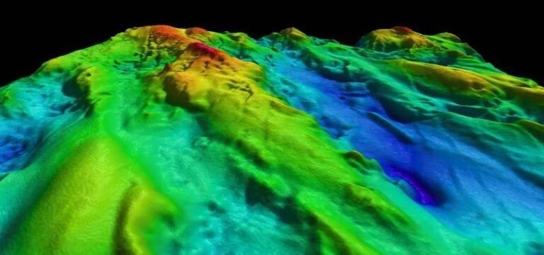
The donation is part of Fugro’s commitment to supporting global ocean science initiatives and aligns with their active participation in the United Nations Decade of Ocean Science for Sustainable Development. The EdgeTech Deep Tow survey systems, capable of operating at depths up to 6,000 meters, were previously utilized by Fugro during the search for MH370 in the deep waters of the Southern Indian Ocean.
With Fugro no longer requiring these systems for daily operations, they are pleased to donate them to CSIRO. The equipment will be installed on CSIRO’s research vessel Investigator, enabling Australian scientists to conduct high-resolution deep-sea mapping and study biodiversity in deepwater benthic habitats.
Toni Moate, CSIRO Marine National Facility Director, expressed gratitude for Fugro’s donation, stating, “We sincerely thank Fugro for their generous donation of these systems, which will further enhance the impressive scientific capabilities that CSIRO research vessel Investigator offers to the Australian marine and atmospheric research community.”
Nina Levy, Fugro Service Line Manager – Geophysics & Hydrography Pacific, added, “Fugro is delighted that CSIRO will be incorporating this into the already extensive capabilities of the Investigator research vessel. We are excited by the research opportunities that this deep tow equipment can offer to the Australian scientific research community.”
In addition to this donation, Fugro actively contributes to the understanding of ocean health and coastal environments across Australia and the Indo-Pacific region. They utilize advanced autonomous and remotely operated vessels, airborne lidar bathymetry for nearshore studies, and satellite-derived bathymetry, along with other earth observation datasets.

